

Services
Our Services
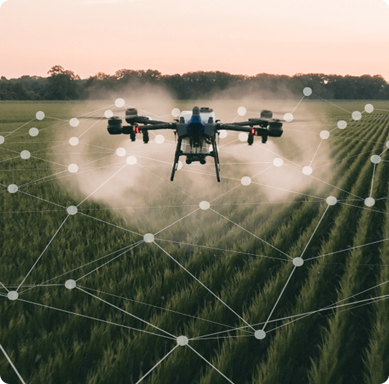
AG Drones delivers professional aerial application and crop intelligence services across British Columbia. Whether you need precision spraying, efficient granular spreading, or high-resolution crop health monitoring, our certified pilots and advanced EAVISION drone fleet provide fast, accurate, and cost-effective results.
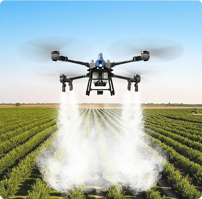
High-Accuracy Aerial Application for Every Crop
Our EAVISION EA-J70, J100, and J150 drones are engineered for precise, consistent coverage—even in challenging terrain. With autonomous flight paths, terrain-following, and adjustable droplet sizes, we deliver targeted applications that reduce waste and improve crop outcomes.
What You Get
- Uniform coverage across rows, slopes, and irregular fields
- Precision droplet control for herbicides, fungicides, foliar feeds, and more
- Reduced water usage compared to traditional ground rigs
- No crop trampling or soil compaction
- Fast application: 45–60 acres per hour, depending on field conditions
Ideal For
- Vineyards
- Orchards
- Row crops
- Specialty crops
- Hard-to-reach or sensitive areas
Our certified pilots handle everything—from flight planning to application—so you get safe, compliant, and efficient results every time.
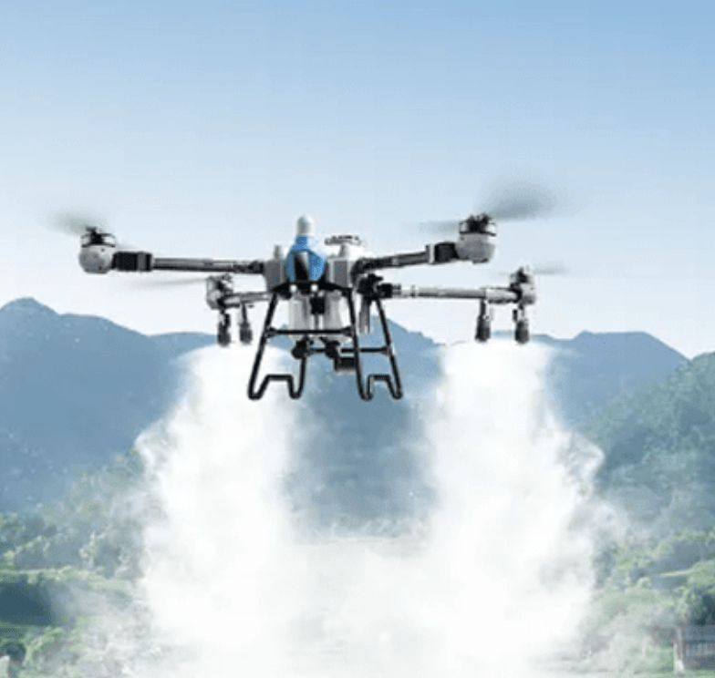
Granular Application Done Right
Our drones aren’t just for liquids. With high-capacity spreader systems (up to 85 kg on the J150), we deliver even, controlled distribution of granular products across all field types.
Applications Include
- Fertilizer
- Cover crop seed
- Soil amendments
- Pest control granules
- Beneficial insects
Why Drone Spreading Works Better
- Even distribution with adjustable spread patterns
- No rutting or compaction
- Access to wet, steep, or soft ground
- Faster turnaround and lower labour requirements
Whether you’re establishing cover crops or boosting soil nutrition, drone broadcasting ensures your inputs land exactly where they’re needed.
See Your Fields Clearly— Before Problems Spread
Using RGB and multispectral mapping, we provide detailed insights into crop performance, plant stress, and field variability. Our mapping services help you make informed decisions and target inputs where they’ll have the greatest impact.
Mapping Capabilities
- Plant counts
- Yield estimation
- Stress detection (water, nutrient, disease)
- Prescription mapping
- Field inspection & survey
- Routine monitoring programs
Deliverables
- High-resolution orthomosaics
- NDVI/NDRE vegetation indices
- Zone maps for variable-rate application
- Actionable recommendations based on field data
With regular flyovers, you gain a clear picture of crop health throughout the season—helping you catch issues early and optimize your inputs.